Calypso Monterey Bay llc
Taking the Pulse of our Coastal Waters
Oceanographic UAV Proposal Summary
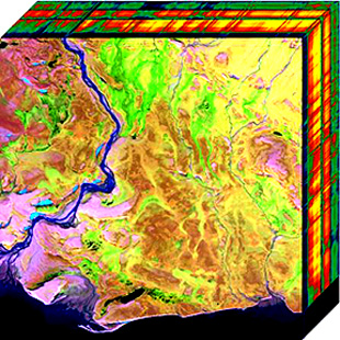
Drones, also called unassigned aerial vehicles (UAVs), have changed how we study land use, like forests, farms, and cities. These affordable flying devices with special cameras can take detailed pictures, measure temperature, and create 3D maps. However, we haven't been able to use this technology as well for studying oceans, especially on a large scale.
This proposal asks for funding to design and build a prototype of a drone system specifically for studying oceans. It would be used to measure and monitor the health of coastal waters and inland water bodies like lakes.
There are unique challenges when it comes to using drones over oceans:
- Ocean studies often cover very large areas (like 100 km wide).
- It's hard to launch and land drones over open water.
- Analyzing ocean images is very different from analyzing land images.
Professor Prochaska came up with this idea while looking at Monterey Bay a few years ago. He realized two things:
- NASA's PACE mission (which successfully launched in February 2024) was going to push ocean scientists to use more advanced imaging techniques.
- However, the PACE satellite data wouldn't be detailed enough for studying coastal and inland waters. It wouldn't show small enough areas, and it wouldn't take pictures often enough because of fog and clouds.
Since then, Professor Prochaska has been learning more about oceans and studying how to analyze ocean images. He used this knowledge to develop this proposal.