Calypso Monterey System Overview
With PACE now operating at full capacity, the time is right to develop complementary technology for inland and coastal waters. The system is codenamed Calypso Monterey and will:
- Launch from a modest sized runway or platform.
- Scan a predefined "lawn-mower" (grid sampling) pattern covering >10³ km² over ocean or inland waters.
- Obtain contemporaneous and (as best as possible) co-spatial calibration data, e.g. hyperspectral images of the sky from a land-based sensor.
- Land on a modest sized runway or platform.
- Push the data to the NSF-supported Nautilus cloud platform.
- Process the data with custom software to generate science-ready products, e.g. fully calibrated hyperspectral datacubes.
- Provide basic, web-based tools for data inspection and analysis.
UAV Specifications
The Calypso Monterey UAV will be the assembly of a long-range fixed-wing drone with at least three sensors:
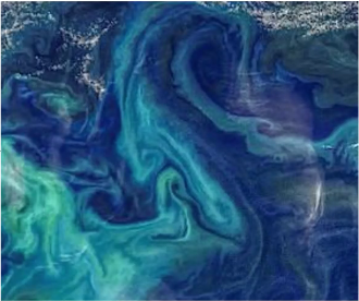
- A hyperspectral camera that provides ≤5nm sampling at optical wavelengths of ocean optics analysis (e.g. derivation of Chl-a, phytoplankton, algal blooms)
- An infrared imager to measure sea surface temperature (SST)
- Light detection and ranging (LiDAR) camera for providing 3D structure of the areas underlying the samples and scattering by particulates in the water
Data Management and Applications
The research will also create a data pipeline and analysis system for ingesting data and providing it to customers and researchers. While the initial applications will be primarily scientific, there are also commercial applications of the data.
Comparison to Existing Technology
It is important to emphasize that some of the technology to be developed here is now being deployed in the private sector (e.g. Tanager-1 by Planet). As their platform is satellite-based, they must contend with the atmosphere and will (initially) have a long cadence (18 days). Nevertheless, we intend to explore their products to ensure complementarity.
revolutionize how we study and understand our oceans using cutting-edge technology. We're developing a special drone called the Calypso Monterey UAV to gather crucial data about our marine environments. Here's what we're aiming to accomplish: